We stock the boards, sensors and modules this project needs. A full parts list is coming soon — for now, browse our DIY Kits & components or search for Raspberry Pi parts.
This project is sourced from another site, not written by us — this list is our best match of their components against what we stock, not a verified bill of materials. Always check the original blog (linked above) for the actual parts list before buying.
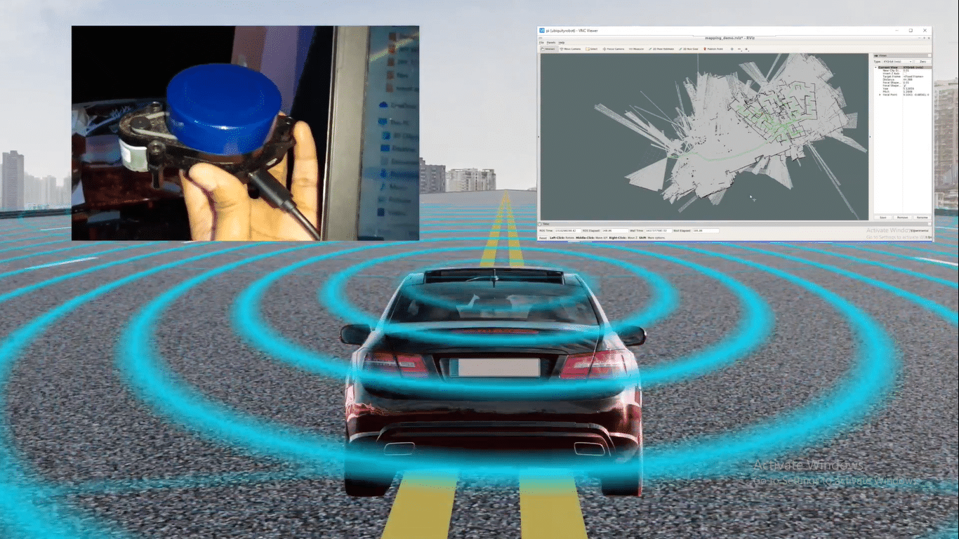
The Hector Slam Mapping and Indoor Positioning Robot operates by combining processing hardware, sensor perception, and robotics middleware to navigate unfamiliar environments without relying on GPS. At the heart of the system is a Raspberry Pi 4 Model B running the Robot Operating System (ROS), which serves as the central framework for managing data flow between hardware components and software nodes. A 360-degree LiDAR sensor continuously scans the surrounding environment, measuring distances to walls and obstacles by emitting laser pulses and calculating return times. These raw distance measurements are processed using the YDLIDAR drivers to convert them into usable spatial data. The Hector SLAM (Simultaneous Localization and Mapping) algorithm then takes this LiDAR data stream to incrementally construct a 2D map of the indoor space while simultaneously estimating the robot's exact position and orientation within that map in real time. Because Hector SLAM does not strictly require wheel odometry, it relies heavily on high-rate laser scans to compute spatial transformations, making it highly effective for fast, agile indoor mapping. Users can monitor the real-time mapping process and visualize the generated environment using an attached HDMI display running the ROS visualization tools.
Why Build This
Gain hands-on experience implementing Simultaneous Localization and Mapping (SLAM) algorithms for GPS-denied indoor navigation.
Learn to integrate complex sensor hardware like 360-degree LiDAR with the Robot Operating System (ROS) environment.
Develop practical skills in autonomous robotics applicable to automated guided vehicles (AGVs) and smart warehouse systems.
Real-World Application
Autonomous electric vehicles, AGVs, robotics, and indoor automated guided navigation systems operating in GPS-denied environments.
Skills You'll Learn
Robot Operating System node management
LiDAR sensor integration
SLAM algorithm configuration
2D environmental mapping
spatial coordinate transformation
Linux command-line navigation
Safety Precautions
No specific precautions noted for this build — always follow general electronics safety practices.
Frequently Asked Questions
Yes, the system uses Hector SLAM and a 360-degree LiDAR to map and position itself entirely based on surrounding walls and obstacles, making GPS completely unnecessary.
ROS (Robot Operating System) acts as the communication framework that allows the Raspberry Pi, LiDAR drivers, and SLAM mapping algorithms to exchange data seamlessly in real time.
While an HDMI display is helpful for visualizing the generated map locally, you can also access the ROS environment remotely via network connection once the system is booted.
Gallery
This page is part of Kitkraft's Project Hub — a curated collection of electronics & robotics projects gathered from the maker community to help students and hobbyists discover and learn to build. Kitkraft does not claim authorship of the original project, and makes no representation as to the accuracy, completeness or safety of third-party source material. The summary and "How It Works" explanation above are AI-generated, rewritten with reference to the original tutorial — not a reproduction of it. Full credit and a direct link to the original source are provided above. If you're the original creator and have a concern about how your work is represented here, please contact us and we'll address it promptly.
Kitkraft Project Hub — curated from the maker community, credited at the source.